Port Campbell National Park
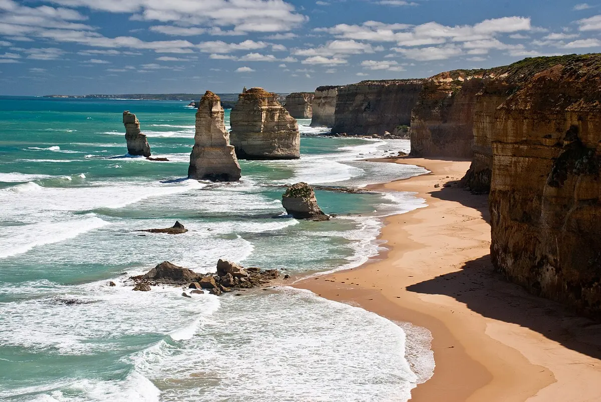
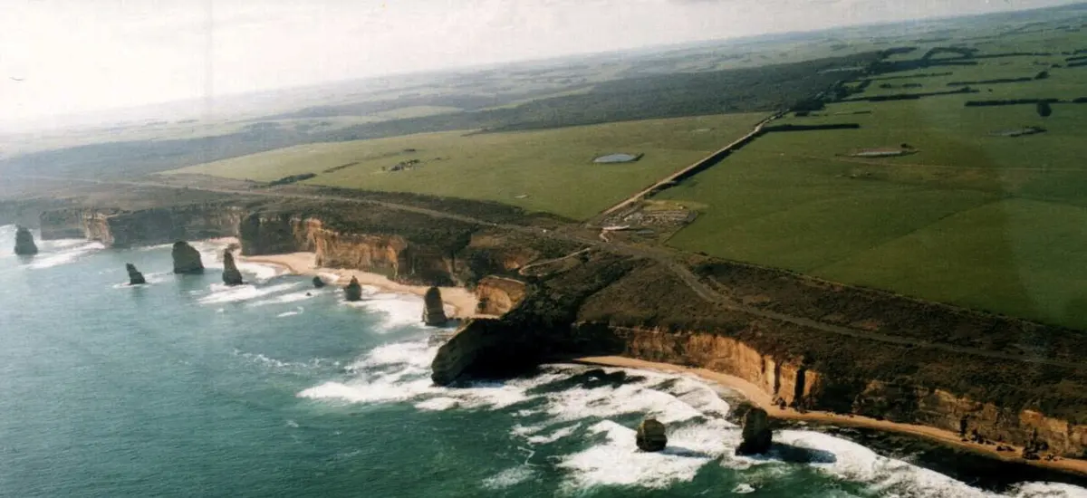
Port Campbell National Park is a national park about 5 km from Port Campbell, Victoria. It is managed by Parks Victoria. Location data © OpenStreetMap contributors, available under the ODbL.
AustraliaWeb: Your Guide to Accessible & Family Travel in Australia
Port Campbell National Park is a national park about 5 km from Port Campbell, Victoria. It is managed by Parks Victoria. Location data © OpenStreetMap contributors, available under the ODbL.
Clifton Beach is a beach about 13 km from Port Campbell, Victoria. Location data © OpenStreetMap contributors, available under the ODbL.
Twelve Apostles Marine National Park is a national park about 13 km from Port Campbell, Victoria. It is managed by Department of Energy, Environment and Climate Action. Location data © OpenStreetMap contributors, available under the ODbL.
Rutledge Creek Beach is a beach about 5 km from Port Campbell, Victoria. Location data © OpenStreetMap contributors, available under the ODbL.
Gellibrand East Beach is a beach about 20 km from Port Campbell, Victoria. Location data © OpenStreetMap contributors, available under the ODbL.
Gellibrand East is a beach about 20 km from Port Campbell, Victoria. Location data © OpenStreetMap contributors, available under the ODbL.
12 Apostles Helicopters is an attraction about 11 km from Port Campbell, Victoria. Listed opening hours: 09:00-18:00. Official website Location data © OpenStreetMap contributors, available under the ODbL.
Wreck Beach is a beach about 24 km from Port Campbell, Victoria. Location data © OpenStreetMap contributors, available under the ODbL.
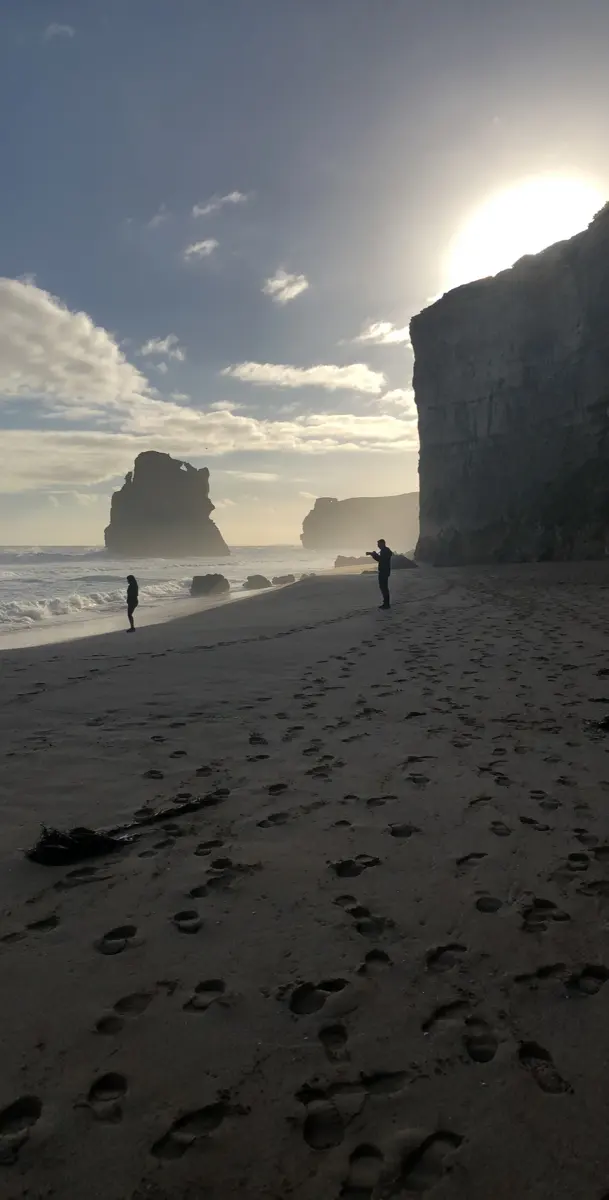
Gibson Beach is a beach about 11 km from Port Campbell, Victoria. Location data © OpenStreetMap contributors, available under the ODbL.
London Arch is an attraction about 6 km from Port Campbell, Victoria. Location data © OpenStreetMap contributors, available under the ODbL.