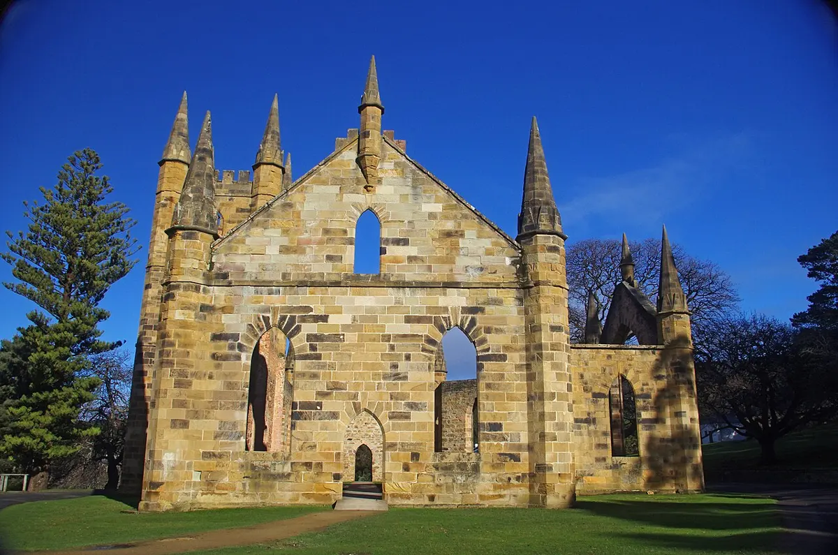
Port Arthur Historic Site
Port Arthur Historic Site is a historic site near Port Arthur, Tasmania. Official website Location data © OpenStreetMap contributors, available under the ODbL.
AustraliaWeb: Your Guide to Accessible & Family Travel in Australia
Port Arthur Historic Site is a historic site near Port Arthur, Tasmania. Official website Location data © OpenStreetMap contributors, available under the ODbL.
Where the ell are we?! (mid bench sign) is a lookout about 9 km from Port Arthur, Tasmania. Location data © OpenStreetMap contributors, available under the ODbL.
Scorpion Rock Lookout is a lookout near Port Arthur, Tasmania. Location data © OpenStreetMap contributors, available under the ODbL.
Wughalee Falls is a waterfall about 10 km from Port Arthur, Tasmania. Very small waterfall just downstream from the bridge. Mapped it only because the local campground is named for it. Location data © OpenStreetMap contributors, available under the ODbL.
The Asylum is a museum & gallery near Port Arthur, Tasmania. Entry is listed as free. Wheelchair access is listed as yes. Location data © OpenStreetMap contributors, available under the ODbL.
Purgatory Hill is a mountain & peak about 12 km from Port Arthur, Tasmania. It rises to about 340 m above sea level. Location data © OpenStreetMap contributors, available under the ODbL.
Chasm Lookout is a lookout about 16 km from Port Arthur, Tasmania. Location data © OpenStreetMap contributors, available under the ODbL.
Seal spa is a lookout about 16 km from Port Arthur, Tasmania. Location data © OpenStreetMap contributors, available under the ODbL.
Pillars of the south is a lookout about 11 km from Port Arthur, Tasmania. Location data © OpenStreetMap contributors, available under the ODbL.
Maingon Blowhole is an attraction about 6 km from Port Arthur, Tasmania. Location data © OpenStreetMap contributors, available under the ODbL.