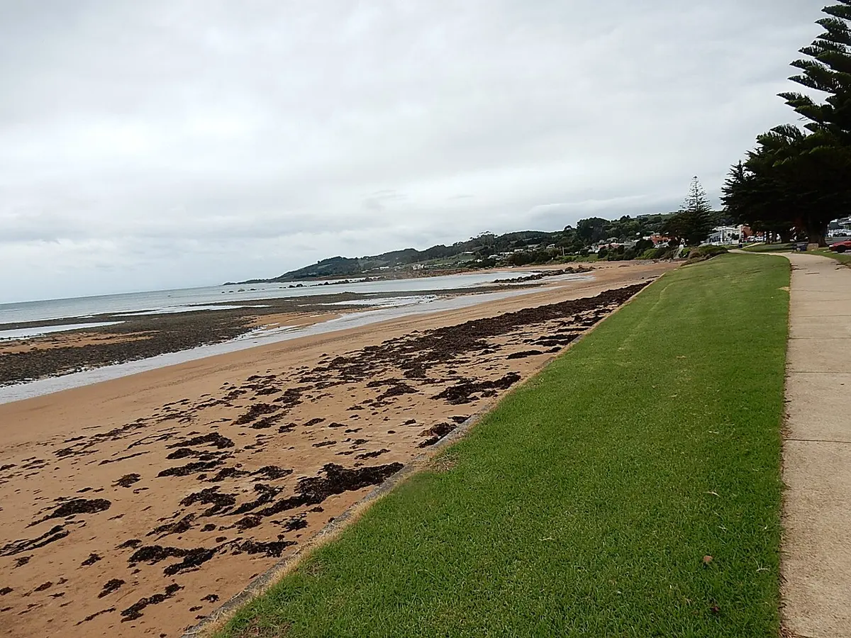
Ferndene State Reserve
Ferndene State Reserve is a nature reserve about 5 km from Penguin, Tasmania. It is managed by Tasmania Parks & Wildlife Service. Location data © OpenStreetMap contributors, available under the ODbL.
AustraliaWeb: Your Guide to Accessible & Family Travel in Australia
Ferndene State Reserve is a nature reserve about 5 km from Penguin, Tasmania. It is managed by Tasmania Parks & Wildlife Service. Location data © OpenStreetMap contributors, available under the ODbL.
Mount Montgomery State Reserve is a nature reserve about 4 km from Penguin, Tasmania. It is managed by Tasmania Parks & Wildlife Service. Location data © OpenStreetMap contributors, available under the ODbL.
Johnsons Beach is a beach near Penguin, Tasmania. Location data © OpenStreetMap contributors, available under the ODbL.
Penguin Beach is a beach near Penguin, Tasmania. Location data © OpenStreetMap contributors, available under the ODbL.
Three Sisters Nature Reserve Lookout is a lookout about 4 km from Penguin, Tasmania. Location data © OpenStreetMap contributors, available under the ODbL.
Mount Dial is a mountain & peak about 6 km from Penguin, Tasmania. It rises to about 480 m above sea level. Location data © OpenStreetMap contributors, available under the ODbL.
Mount Gnomon is a lookout about 7 km from Penguin, Tasmania. It rises to about 490 m above sea level. Location data © OpenStreetMap contributors, available under the ODbL.
Mount Montgomery is a mountain & peak about 4 km from Penguin, Tasmania. It rises to about 470 m above sea level. Location data © OpenStreetMap contributors, available under the ODbL.
Mount Duncan is a lookout about 9 km from Penguin, Tasmania. It rises to about 681 m above sea level. Location data © OpenStreetMap contributors, available under the ODbL.
Mount Riana is a mountain & peak about 11 km from Penguin, Tasmania. It rises to about 610 m above sea level. Location data © OpenStreetMap contributors, available under the ODbL.