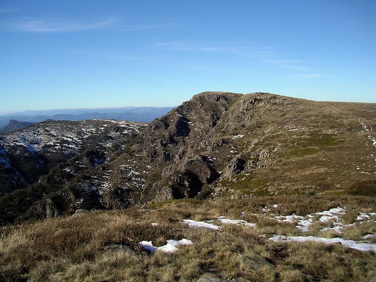
Victoria Falls
Victoria Falls is a waterfall about 12 km from Omeo, Victoria. Location data © OpenStreetMap contributors, available under the ODbL.
AustraliaWeb: Your Guide to Accessible & Family Travel in Australia
Victoria Falls is a waterfall about 12 km from Omeo, Victoria. Location data © OpenStreetMap contributors, available under the ODbL.
Splitters Range State Forest is a nature reserve about 13 km from Omeo, Victoria. It is managed by Department of Energy, Environment and Climate Action. Location data © OpenStreetMap contributors, available under the ODbL.
Mount Battery State Forest is a nature reserve about 19 km from Omeo, Victoria. It is managed by Department of Energy, Environment and Climate Action. Location data © OpenStreetMap contributors, available under the ODbL.
Cobungra State Forest is a nature reserve about 16 km from Omeo, Victoria. It is managed by Department of Energy, Environment and Climate Action. Location data © OpenStreetMap contributors, available under the ODbL.
Gingee Munjie State Forest is a nature reserve about 11 km from Omeo, Victoria. It is managed by Department of Energy, Environment and Climate Action. Location data © OpenStreetMap contributors, available under the ODbL.
Alpine National Park is a national park about 10 km from Omeo, Victoria. It is managed by Parks Victoria. Official website Location data © OpenStreetMap contributors, available under the ODbL.
Old Omeo Courthouse is a museum & gallery near Omeo, Victoria. Location data © OpenStreetMap contributors, available under the ODbL.
Omeo Historical Park & Museum is a museum & gallery near Omeo, Victoria. Location data © OpenStreetMap contributors, available under the ODbL.
Petersens Art Gallery & Museum is a museum & gallery near Omeo, Victoria. Location data © OpenStreetMap contributors, available under the ODbL.
Pioneer Hill Lookout is a lookout about 2 km from Omeo, Victoria. Location data © OpenStreetMap contributors, available under the ODbL.