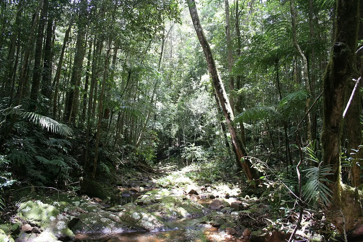
Loop Falls
Loop Falls is a waterfall about 18 km from Mutarnee, Queensland. Location data © OpenStreetMap contributors, available under the ODbL.
AustraliaWeb: Your Guide to Accessible & Family Travel in Australia
Loop Falls is a waterfall about 18 km from Mutarnee, Queensland. Location data © OpenStreetMap contributors, available under the ODbL.
Rope Falls is a waterfall about 18 km from Mutarnee, Queensland. Location data © OpenStreetMap contributors, available under the ODbL.
Gorge Falls is a waterfall about 18 km from Mutarnee, Queensland. Location data © OpenStreetMap contributors, available under the ODbL.
Smith Falls is a waterfall about 11 km from Mutarnee, Queensland. Location data © OpenStreetMap contributors, available under the ODbL.
Crystal Creek Falls is a waterfall about 11 km from Mutarnee, Queensland. Location data © OpenStreetMap contributors, available under the ODbL.
Gold Creek Falls is a waterfall about 9 km from Mutarnee, Queensland. Location data © OpenStreetMap contributors, available under the ODbL.
Paluma Range National Park is a national park about 17 km from Mutarnee, Queensland. It is managed by Queensland Department of Environment and Science. Location data © OpenStreetMap contributors, available under the ODbL.
Rock Pools is an attraction about 7 km from Mutarnee, Queensland. Location data © OpenStreetMap contributors, available under the ODbL.
Hencamp Creek is a beach about 11 km from Mutarnee, Queensland. Location data © OpenStreetMap contributors, available under the ODbL.
Crystal-Ollera Cks is a beach about 5 km from Mutarnee, Queensland. Location data © OpenStreetMap contributors, available under the ODbL.