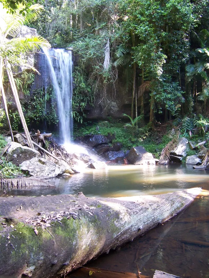
Cedar Creek Falls
Cedar Creek Falls is a waterfall about 4 km from Mount Tamborine, Queensland. Location data © OpenStreetMap contributors, available under the ODbL.
AustraliaWeb: Your Guide to Accessible & Family Travel in Australia
Cedar Creek Falls is a waterfall about 4 km from Mount Tamborine, Queensland. Location data © OpenStreetMap contributors, available under the ODbL.
Cameron Falls is a waterfall about 2 km from Mount Tamborine, Queensland. Location data © OpenStreetMap contributors, available under the ODbL.
Witches Falls is a waterfall about 1 km from Mount Tamborine, Queensland. Location data © OpenStreetMap contributors, available under the ODbL.
Curtis Falls is a waterfall near Mount Tamborine, Queensland. Location data © OpenStreetMap contributors, available under the ODbL.
Water Fall is a waterfall about 4 km from Mount Tamborine, Queensland. Location data © OpenStreetMap contributors, available under the ODbL.
Tamborine National Park is a national park about 2 km from Mount Tamborine, Queensland. It is managed by Queensland Department of National Parks, Sport and Racing. Location data © OpenStreetMap contributors, available under the ODbL.
Cedar Creek Falls is an attraction about 4 km from Mount Tamborine, Queensland. Location data © OpenStreetMap contributors, available under the ODbL.
Creek lookout is a lookout about 2 km from Mount Tamborine, Queensland. Location data © OpenStreetMap contributors, available under the ODbL.
Frog Hollow is an attraction about 1 km from Mount Tamborine, Queensland. Location data © OpenStreetMap contributors, available under the ODbL.
Arthur Hamblin Art Gallery is a museum & gallery about 1 km from Mount Tamborine, Queensland. Listed opening hours: Mo-Su 10:00-16:00. Location data © OpenStreetMap contributors, available under the ODbL.