Olinda Creek waterfall upper
Olinda Creek waterfall upper is a waterfall about 2 km from Mount Dandenong, Victoria. Location data © OpenStreetMap contributors, available under the ODbL.
AustraliaWeb: Your Guide to Accessible & Family Travel in Australia
Olinda Creek waterfall upper is a waterfall about 2 km from Mount Dandenong, Victoria. Location data © OpenStreetMap contributors, available under the ODbL.
Olinda Creek waterfall lower is a waterfall about 2 km from Mount Dandenong, Victoria. Location data © OpenStreetMap contributors, available under the ODbL.
Olinda Creek waterfall middle is a waterfall about 2 km from Mount Dandenong, Victoria. Location data © OpenStreetMap contributors, available under the ODbL.
Singleton Reserve is a nature reserve near Mount Dandenong, Victoria. This part of Dandenong Ranges National Park is known locally as Singleton Reserve. Location data © OpenStreetMap contributors, available under the ODbL.
William Ricketts Sanctuary is a nature reserve near Mount Dandenong, Victoria. Closed June 2021 for restoration. Listed opening hours: Mo-Su "Closed for restoration". It is managed by Parks Victoria as COM. Official website Location data © OpenStreetMap contributors, available under the ODbL.
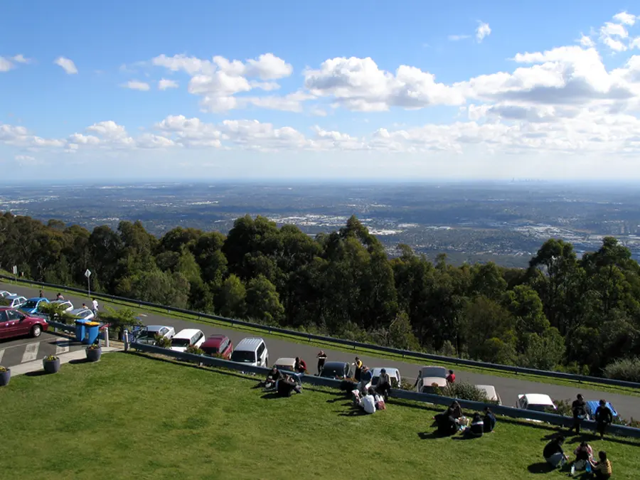
SkyHigh Mount Dandenong is an attraction about 1 km from Mount Dandenong, Victoria. Listed opening hours: Mo-Su,PH 09:00-22:00. Official website Location data © OpenStreetMap contributors, available under the ODbL.
Mount Dandenong is a mountain & peak about 1 km from Mount Dandenong, Victoria. It rises to about 633 m above sea level. Location data © OpenStreetMap contributors, available under the ODbL.
Upper Viewing Platform is a lookout about 2 km from Mount Dandenong, Victoria. Location data © OpenStreetMap contributors, available under the ODbL.
Burkes Lookout is a lookout near Mount Dandenong, Victoria. View of Melbourne City and Eastern Suburbs. Sunset is viewable from here. Location data © OpenStreetMap contributors, available under the ODbL.
SkyHigh Maze is an attraction near Mount Dandenong, Victoria. Location data © OpenStreetMap contributors, available under the ODbL.