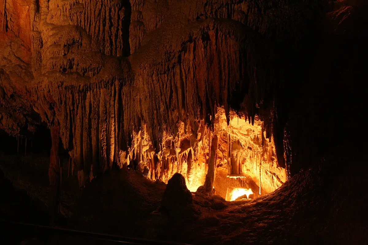
Alum Cliffs State Reserve
Alum Cliffs State Reserve is a national park about 6 km from Mole Creek, Tasmania. It is managed by Tasmania Parks & Wildlife Service. Location data © OpenStreetMap contributors, available under the ODbL.
AustraliaWeb: Your Guide to Accessible & Family Travel in Australia
Alum Cliffs State Reserve is a national park about 6 km from Mole Creek, Tasmania. It is managed by Tasmania Parks & Wildlife Service. Location data © OpenStreetMap contributors, available under the ODbL.
Devils Gullet State Reserve is a national park about 14 km from Mole Creek, Tasmania. It is managed by Tasmania Parks and Wildlife Service. Location data © OpenStreetMap contributors, available under the ODbL.
Mole Creek Karst National Park is a national park about 8 km from Mole Creek, Tasmania. It is managed by Tasmania Parks and Wildlife Service. Location data © OpenStreetMap contributors, available under the ODbL.
Unnamed (Gillam Creek Road) Conservation Area is a national park about 8 km from Mole Creek, Tasmania. It is managed by Department of Natural Resources and Environment Tasmania. Location data © OpenStreetMap contributors, available under the ODbL.
Mole Creek Memorial Hall is a museum & gallery near Mole Creek, Tasmania. Location data © OpenStreetMap contributors, available under the ODbL.
Mole Creek Caves Ticket Office is an attraction about 10 km from Mole Creek, Tasmania. Official website Location data © OpenStreetMap contributors, available under the ODbL.
Falls is a waterfall about 12 km from Mole Creek, Tasmania. Location data © OpenStreetMap contributors, available under the ODbL.
Westmorland Falls is a waterfall about 7 km from Mole Creek, Tasmania. Location data © OpenStreetMap contributors, available under the ODbL.
Parsons Falls is a waterfall about 14 km from Mole Creek, Tasmania. Location data © OpenStreetMap contributors, available under the ODbL.
Melita Honey Farm is an attraction about 6 km from Mole Creek, Tasmania. Location data © OpenStreetMap contributors, available under the ODbL.