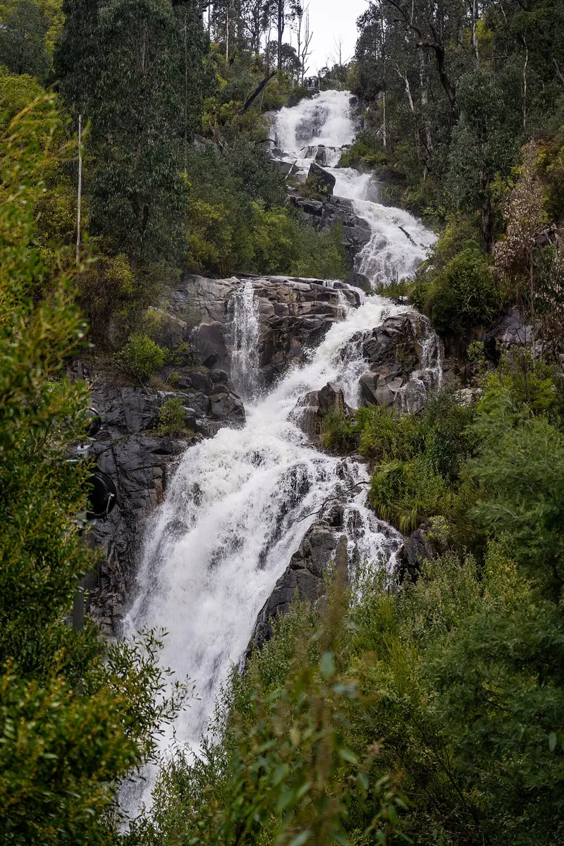
Sherlocks Lookout
Sherlocks Lookout is a lookout about 12 km from Marysville, Victoria. Location data © OpenStreetMap contributors, available under the ODbL.
AustraliaWeb: Your Guide to Accessible & Family Travel in Australia
Sherlocks Lookout is a lookout about 12 km from Marysville, Victoria. Location data © OpenStreetMap contributors, available under the ODbL.
Alps Lookout is a lookout about 12 km from Marysville, Victoria. Location data © OpenStreetMap contributors, available under the ODbL.
Panorama Lookout is a lookout about 13 km from Marysville, Victoria. Location data © OpenStreetMap contributors, available under the ODbL.
Steavenson Falls is an attraction about 3 km from Marysville, Victoria. Location data © OpenStreetMap contributors, available under the ODbL.
Lower Lookout is a lookout about 3 km from Marysville, Victoria. Location data © OpenStreetMap contributors, available under the ODbL.
Replica of the original police station is a museum & gallery near Marysville, Victoria. Listed opening hours: We-Th, Sa-Su 12:00-15:00. Location data © OpenStreetMap contributors, available under the ODbL.
Sheehan Lookout is an attraction near Marysville, Victoria. Location data © OpenStreetMap contributors, available under the ODbL.
Boundary Hut is a lookout about 12 km from Marysville, Victoria. Highest point in Yarra Ranges National Park. Location data © OpenStreetMap contributors, available under the ODbL.
Mount Observation is a mountain & peak about 11 km from Marysville, Victoria. Location data © OpenStreetMap contributors, available under the ODbL.
Mount Arnold is a mountain & peak about 10 km from Marysville, Victoria. Location data © OpenStreetMap contributors, available under the ODbL.