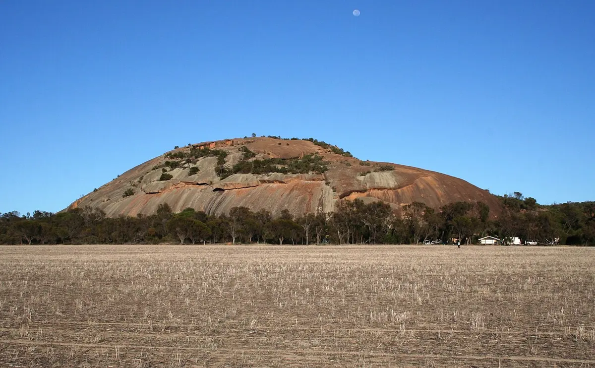
Nangeen Hill
Nangeen Hill is a mountain & peak about 13 km from Kwolyin, Western Australia. Location data © OpenStreetMap contributors, available under the ODbL.
AustraliaWeb: Your Guide to Accessible & Family Travel in Australia
Nangeen Hill is a mountain & peak about 13 km from Kwolyin, Western Australia. Location data © OpenStreetMap contributors, available under the ODbL.
Devil's Marbles is an attraction about 7 km from Kwolyin, Western Australia. Location data © OpenStreetMap contributors, available under the ODbL.
Lizard Head is an attraction about 7 km from Kwolyin, Western Australia. Location data © OpenStreetMap contributors, available under the ODbL.
School Site is a historic site about 8 km from Kwolyin, Western Australia. Location data © OpenStreetMap contributors, available under the ODbL.
Dog Rock is an attraction about 7 km from Kwolyin, Western Australia. Location data © OpenStreetMap contributors, available under the ODbL.
Rock Well is a historic site about 8 km from Kwolyin, Western Australia. Location data © OpenStreetMap contributors, available under the ODbL.
Wave Rock is an attraction about 7 km from Kwolyin, Western Australia. Location data © OpenStreetMap contributors, available under the ODbL.
Feature Wall is an attraction about 7 km from Kwolyin, Western Australia. Location data © OpenStreetMap contributors, available under the ODbL.
Kokerbin Rock is a lookout about 7 km from Kwolyin, Western Australia. It rises to about 122 m above sea level. Location data © OpenStreetMap contributors, available under the ODbL.