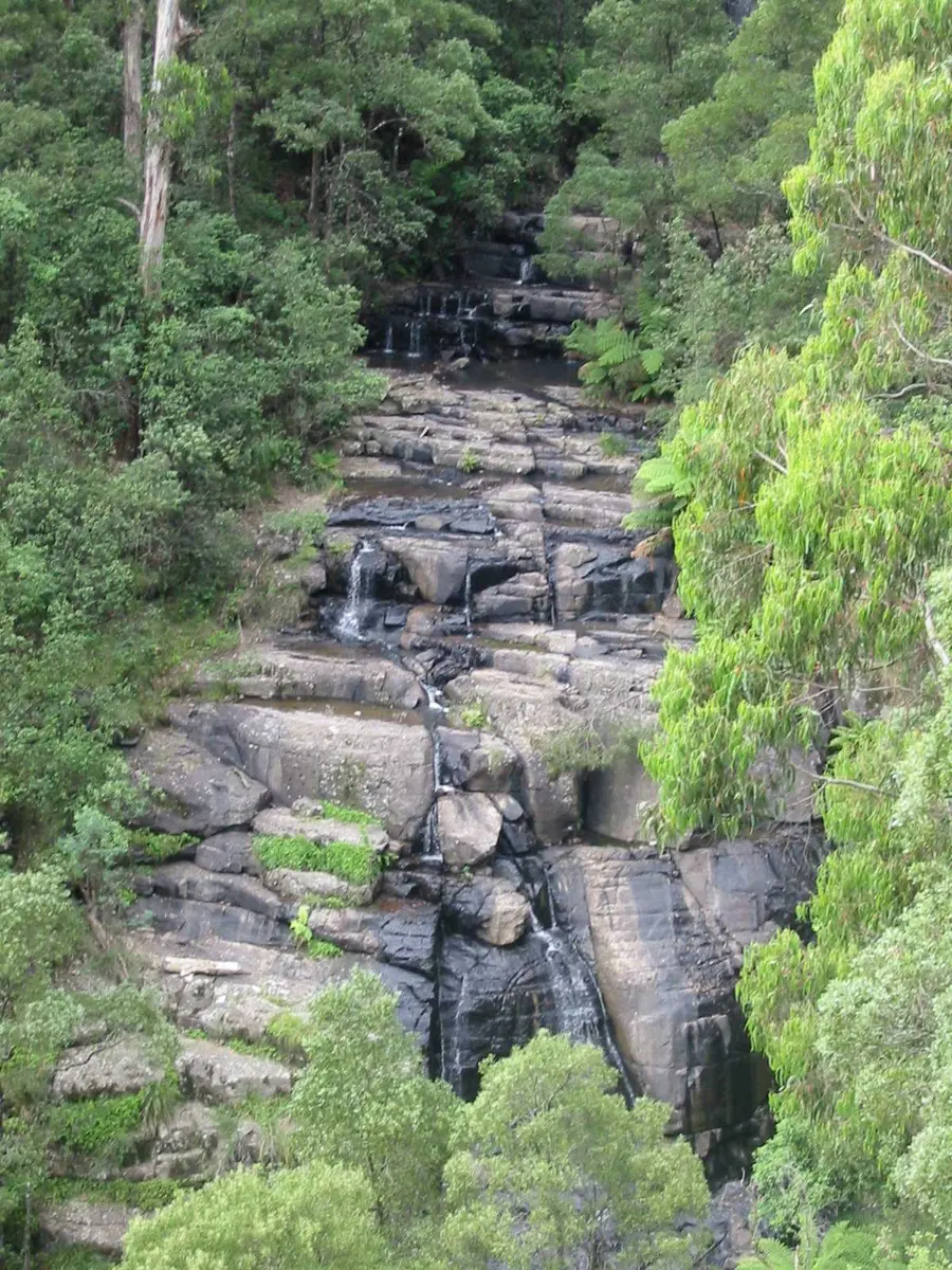
Wallaby Channel Cascades
Wallaby Channel Cascades is a waterfall about 5 km from Kinglake West, Victoria. Location data © OpenStreetMap contributors, available under the ODbL.
AustraliaWeb: Your Guide to Accessible & Family Travel in Australia
Wallaby Channel Cascades is a waterfall about 5 km from Kinglake West, Victoria. Location data © OpenStreetMap contributors, available under the ODbL.
Hakea Cascades is a waterfall near Kinglake West, Victoria. Location data © OpenStreetMap contributors, available under the ODbL.
Halse Falls is a waterfall about 5 km from Kinglake West, Victoria. Location data © OpenStreetMap contributors, available under the ODbL.
Laver Falls is a waterfall about 5 km from Kinglake West, Victoria. Location data © OpenStreetMap contributors, available under the ODbL.
Wallaby Cascades is a waterfall about 5 km from Kinglake West, Victoria. Location data © OpenStreetMap contributors, available under the ODbL.
Chyser Cascades is a waterfall about 5 km from Kinglake West, Victoria. Location data © OpenStreetMap contributors, available under the ODbL.
Nimmo Falls is a waterfall about 5 km from Kinglake West, Victoria. Location data © OpenStreetMap contributors, available under the ODbL.
Masons Falls is a waterfall about 5 km from Kinglake West, Victoria. Location data © OpenStreetMap contributors, available under the ODbL.
Kinglake National Park is a national park about 2 km from Kinglake West, Victoria. It is managed by Parks Victoria. Official website Location data © OpenStreetMap contributors, available under the ODbL.
Masons Falls viewing platform is an attraction about 3 km from Kinglake West, Victoria. Location data © OpenStreetMap contributors, available under the ODbL.