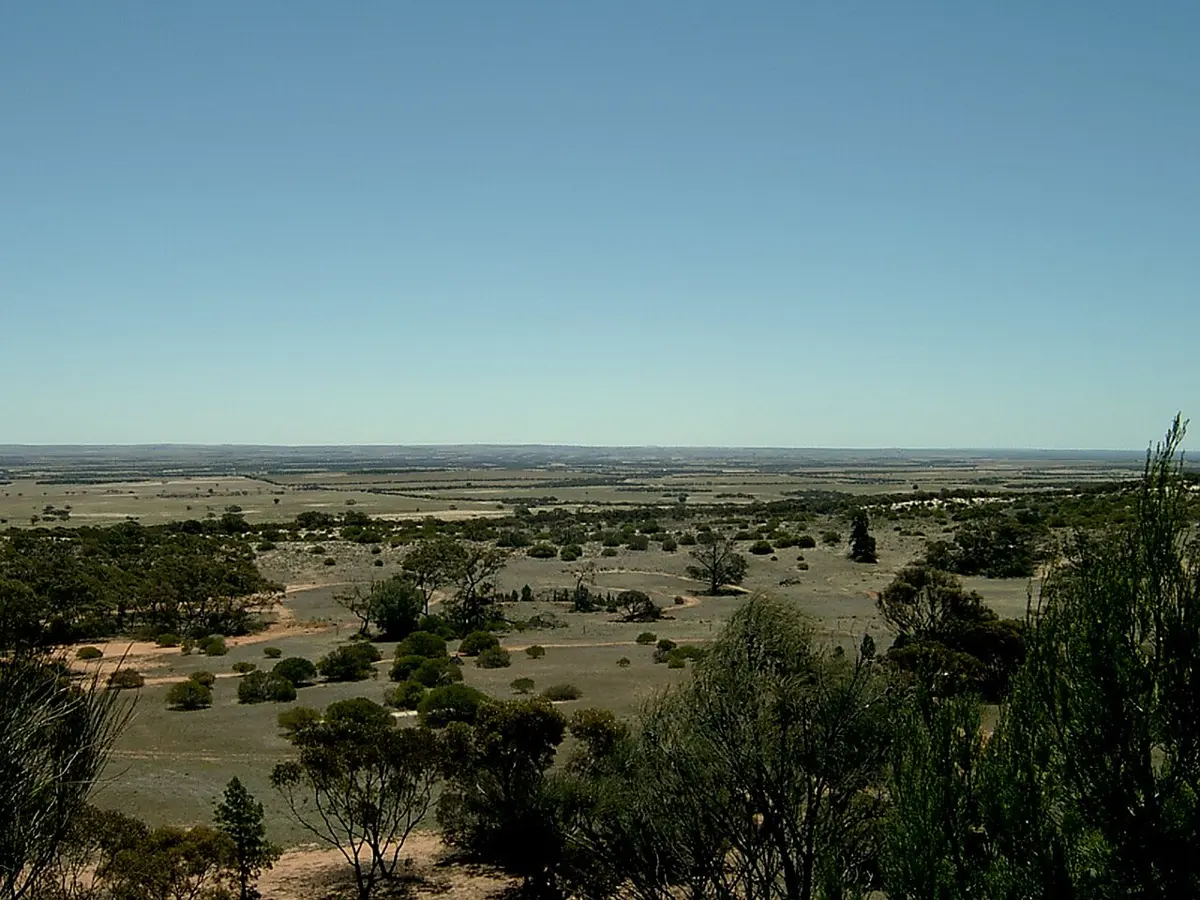
Caralue Bluff Conservation Park
Caralue Bluff Conservation Park is a nature reserve about 24 km from Kimba, South Australia. Location data © OpenStreetMap contributors, available under the ODbL.
AustraliaWeb: Your Guide to Accessible & Family Travel in Australia
Caralue Bluff Conservation Park is a nature reserve about 24 km from Kimba, South Australia. Location data © OpenStreetMap contributors, available under the ODbL.
Malgra Conservation Park is a nature reserve about 16 km from Kimba, South Australia. Location data © OpenStreetMap contributors, available under the ODbL.
Whites Knob Lookout is a lookout about 3 km from Kimba, South Australia. Location data © OpenStreetMap contributors, available under the ODbL.
Silo Art is a lookout near Kimba, South Australia. Location data © OpenStreetMap contributors, available under the ODbL.
Kimba and Gawler Ranges Historical Museum is a museum & gallery near Kimba, South Australia. Location data © OpenStreetMap contributors, available under the ODbL.
Big Galah is an attraction near Kimba, South Australia. Location data © OpenStreetMap contributors, available under the ODbL.
Halfway Across Australia is an attraction near Kimba, South Australia. Location data © OpenStreetMap contributors, available under the ODbL.
Wild Dog Hill is a mountain & peak about 9 km from Kimba, South Australia. Location data © OpenStreetMap contributors, available under the ODbL.
Ferry Hill is a mountain & peak about 5 km from Kimba, South Australia. It rises to about 325 m above sea level. Location data © OpenStreetMap contributors, available under the ODbL.
Barna Hill is a mountain & peak about 15 km from Kimba, South Australia. It rises to about 402 m above sea level. Location data © OpenStreetMap contributors, available under the ODbL.