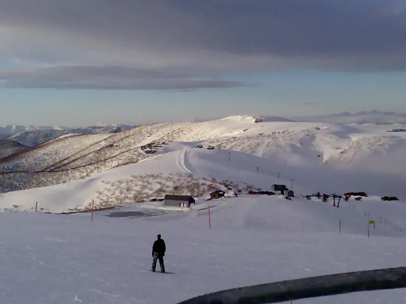
Murphy’s Creek Falls
Murphy's Creek Falls is a waterfall about 3 km from Hotham Village, Victoria. Location data © OpenStreetMap contributors, available under the ODbL.
AustraliaWeb: Your Guide to Accessible & Family Travel in Australia
Murphy's Creek Falls is a waterfall about 3 km from Hotham Village, Victoria. Location data © OpenStreetMap contributors, available under the ODbL.
Red Robin Mine Battery is an attraction about 7 km from Hotham Village, Victoria. Location data © OpenStreetMap contributors, available under the ODbL.
Brandy Creek Mine Lookout is a lookout about 3 km from Hotham Village, Victoria. Location data © OpenStreetMap contributors, available under the ODbL.
Dargo Lookout is a lookout about 3 km from Hotham Village, Victoria. Location data © OpenStreetMap contributors, available under the ODbL.
Cobungra Gap is a lookout about 5 km from Hotham Village, Victoria. Location data © OpenStreetMap contributors, available under the ODbL.
Renes Lookout is a lookout about 5 km from Hotham Village, Victoria. It rises to about 1589 m above sea level. Location data © OpenStreetMap contributors, available under the ODbL.
Christmas Hil is a lookout about 2 km from Hotham Village, Victoria. Location data © OpenStreetMap contributors, available under the ODbL.
Danny's Lookout is a lookout about 3 km from Hotham Village, Victoria. Location data © OpenStreetMap contributors, available under the ODbL.
Mount Hotham is a mountain & peak about 2 km from Hotham Village, Victoria. It rises to about 1860.687 m above sea level. Location data © OpenStreetMap contributors, available under the ODbL.
Mount Loch is a mountain & peak about 3 km from Hotham Village, Victoria. It rises to about 1865 m above sea level. Location data © OpenStreetMap contributors, available under the ODbL.