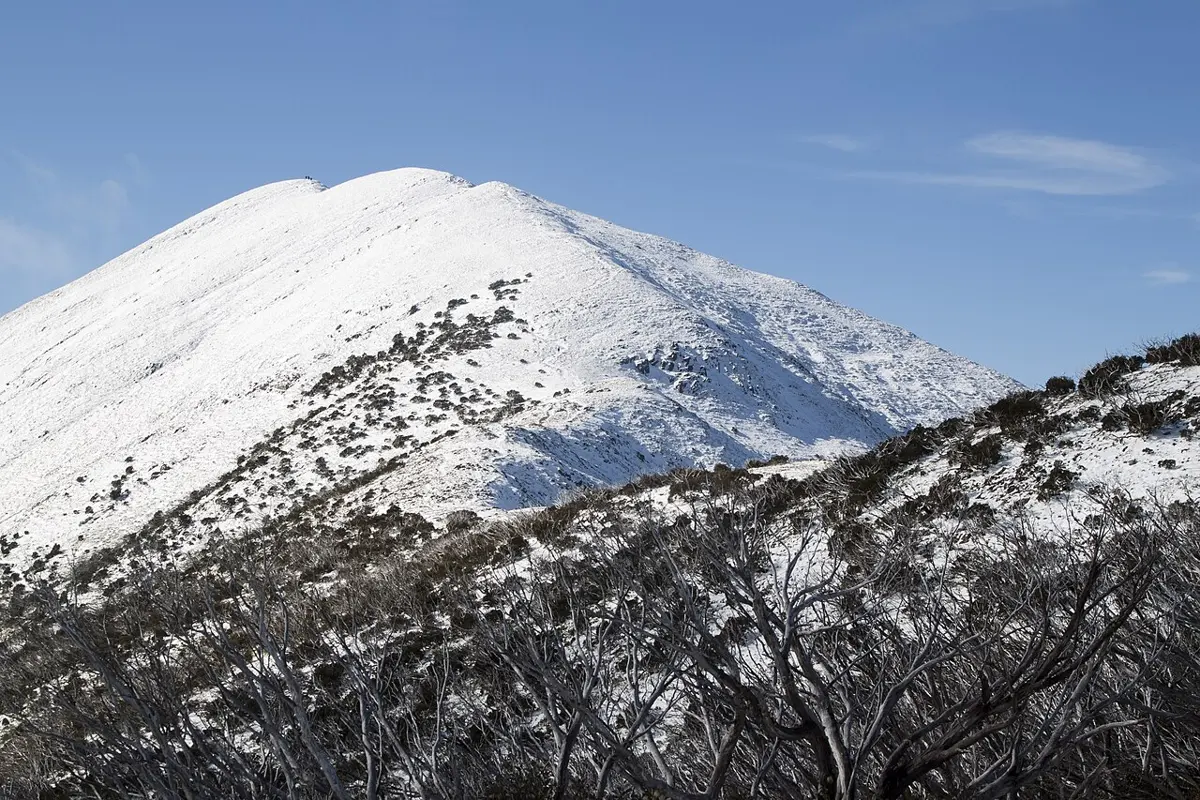
Paddy Hill
Paddy Hill is a mountain & peak about 14 km from Harrietville, Victoria. It rises to about 970 m above sea level. Location data © OpenStreetMap contributors, available under the ODbL.
AustraliaWeb: Your Guide to Accessible & Family Travel in Australia
Paddy Hill is a mountain & peak about 14 km from Harrietville, Victoria. It rises to about 970 m above sea level. Location data © OpenStreetMap contributors, available under the ODbL.
Mount Selwyn is a mountain & peak about 22 km from Harrietville, Victoria. It rises to about 1424 m above sea level. Location data © OpenStreetMap contributors, available under the ODbL.
Harrietville Museum is a museum & gallery near Harrietville, Victoria. Listed opening hours: Sa,Su 12:00-15:00; May-Nov off. Location data © OpenStreetMap contributors, available under the ODbL.
Picture Point is a lookout about 2 km from Harrietville, Victoria. Location data © OpenStreetMap contributors, available under the ODbL.
Tobias Gap is a lookout about 3 km from Harrietville, Victoria. Location data © OpenStreetMap contributors, available under the ODbL.
Mount Feathertop is a mountain & peak about 7 km from Harrietville, Victoria. It rises to about 1922 m above sea level. Location data © OpenStreetMap contributors, available under the ODbL.