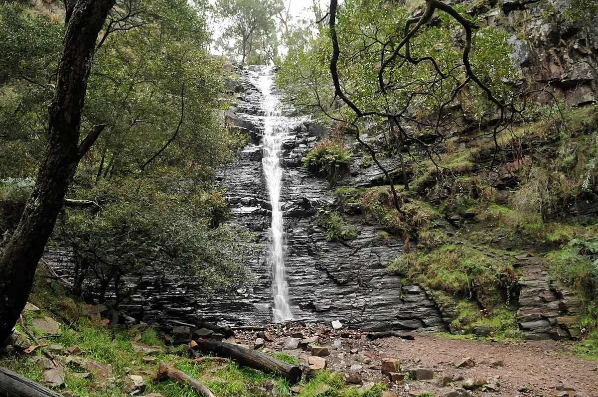
Splitters Falls
Splitters Falls is a waterfall about 2 km from Halls Gap, Victoria. Location data © OpenStreetMap contributors, available under the ODbL.
AustraliaWeb: Your Guide to Accessible & Family Travel in Australia
Splitters Falls is a waterfall about 2 km from Halls Gap, Victoria. Location data © OpenStreetMap contributors, available under the ODbL.
Buandik Falls is a waterfall about 24 km from Halls Gap, Victoria. Location data © OpenStreetMap contributors, available under the ODbL.
Pearls Falls is a waterfall about 10 km from Halls Gap, Victoria. Location data © OpenStreetMap contributors, available under the ODbL.
Burrong Falls is a waterfall about 12 km from Halls Gap, Victoria. Location data © OpenStreetMap contributors, available under the ODbL.
Silverband Falls is a waterfall about 6 km from Halls Gap, Victoria. Location data © OpenStreetMap contributors, available under the ODbL.
Brambuk – The National Park and Cultural Centre Park is a national park about 2 km from Halls Gap, Victoria. It is managed by Parks Victoria. Location data © OpenStreetMap contributors, available under the ODbL.
Grampians (Gariwerd) National Park is a national park about 15 km from Halls Gap, Victoria. It is managed by Parks Victoria. Location data © OpenStreetMap contributors, available under the ODbL.
Serra Range Remote and Natural Area is a national park about 13 km from Halls Gap, Victoria. It is managed by Victorian Department of Environment, Land, Water and Planning. Location data © OpenStreetMap contributors, available under the ODbL.
Nerve Test is an attraction about 2 km from Halls Gap, Victoria. Location data © OpenStreetMap contributors, available under the ODbL.
Ladys Hat is an attraction about 2 km from Halls Gap, Victoria. Location data © OpenStreetMap contributors, available under the ODbL.