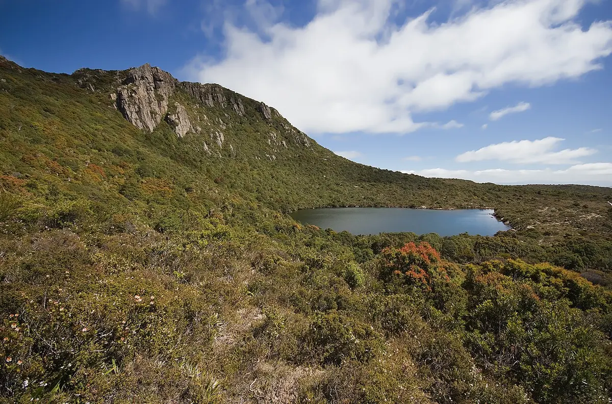
Hartz Mountains National Park
Hartz Mountains National Park is a national park about 14 km from Geeveston, Tasmania. It is managed by Tasmania Parks and Wildlife Service. Location data © OpenStreetMap contributors, available under the ODbL.
AustraliaWeb: Your Guide to Accessible & Family Travel in Australia
Hartz Mountains National Park is a national park about 14 km from Geeveston, Tasmania. It is managed by Tasmania Parks and Wildlife Service. Location data © OpenStreetMap contributors, available under the ODbL.
Schoolmasters House is a museum & gallery near Geeveston, Tasmania. Location data © OpenStreetMap contributors, available under the ODbL.
Billy Falls is a waterfall about 10 km from Geeveston, Tasmania. Location data © OpenStreetMap contributors, available under the ODbL.
Platypus Platform is a lookout near Geeveston, Tasmania. Location data © OpenStreetMap contributors, available under the ODbL.
Waratah Lookout is a lookout about 13 km from Geeveston, Tasmania. Location data © OpenStreetMap contributors, available under the ODbL.
Arve Falls is a waterfall about 14 km from Geeveston, Tasmania. Location data © OpenStreetMap contributors, available under the ODbL.
Blue Hill is a mountain & peak about 14 km from Geeveston, Tasmania. Location data © OpenStreetMap contributors, available under the ODbL.
Pear Hill is a mountain & peak about 21 km from Geeveston, Tasmania. It rises to about 622 m above sea level. Location data © OpenStreetMap contributors, available under the ODbL.
Mansfields Hill is a mountain & peak about 9 km from Geeveston, Tasmania. It rises to about 512 m above sea level. Location data © OpenStreetMap contributors, available under the ODbL.
Glovers Bluff is a mountain & peak about 22 km from Geeveston, Tasmania. Location data © OpenStreetMap contributors, available under the ODbL.