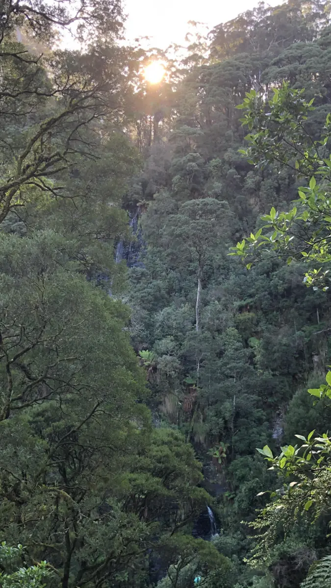
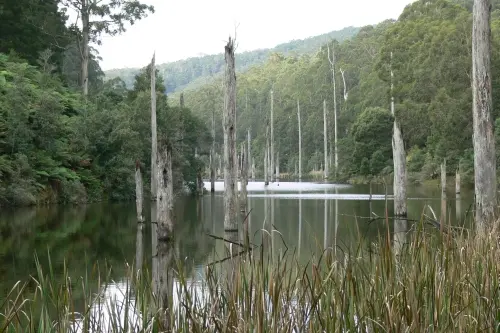
Box Canyon Falls
Box Canyon Falls is a waterfall about 13 km from Forrest, Victoria. Location data © OpenStreetMap contributors, available under the ODbL.
AustraliaWeb: Your Guide to Accessible & Family Travel in Australia
Box Canyon Falls is a waterfall about 13 km from Forrest, Victoria. Location data © OpenStreetMap contributors, available under the ODbL.
Black Velvet (Mavourneen) Falls is a waterfall about 13 km from Forrest, Victoria. Location data © OpenStreetMap contributors, available under the ODbL.
Allambee Beek Falls is a waterfall about 12 km from Forrest, Victoria. Location data © OpenStreetMap contributors, available under the ODbL.
Staircase (Eva) Falls is a waterfall about 12 km from Forrest, Victoria. Location data © OpenStreetMap contributors, available under the ODbL.
Coldwater Creek Falls is a waterfall about 9 km from Forrest, Victoria. Location data © OpenStreetMap contributors, available under the ODbL.
Norman Falls is a waterfall about 9 km from Forrest, Victoria. Location data © OpenStreetMap contributors, available under the ODbL.
Sabine Falls is a waterfall about 13 km from Forrest, Victoria. Location data © OpenStreetMap contributors, available under the ODbL.
Stevensons Falls is a waterfall about 8 km from Forrest, Victoria. Location data © OpenStreetMap contributors, available under the ODbL.
Wye River Falls is a waterfall about 14 km from Forrest, Victoria. Location data © OpenStreetMap contributors, available under the ODbL.
Great Otway National Park is a national park about 8 km from Forrest, Victoria. It is managed by Parks Victoria. Location data © OpenStreetMap contributors, available under the ODbL.