Nangar National Park
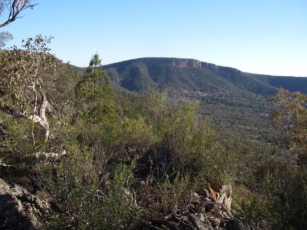
Nangar National Park is a national park about 13 km from Eugowra, New South Wales. It is managed by NSW National Parks and Wildlife Service. Location data © OpenStreetMap contributors, available under the ODbL.
AustraliaWeb: Your Guide to Accessible & Family Travel in Australia
Nangar National Park is a national park about 13 km from Eugowra, New South Wales. It is managed by NSW National Parks and Wildlife Service. Location data © OpenStreetMap contributors, available under the ODbL.
Whipstick Hill is a mountain & peak about 15 km from Eugowra, New South Wales. Location data © OpenStreetMap contributors, available under the ODbL.
Rocky Peak is a mountain & peak about 13 km from Eugowra, New South Wales. Location data © OpenStreetMap contributors, available under the ODbL.
Little Eulimore Hill is a mountain & peak about 11 km from Eugowra, New South Wales. Location data © OpenStreetMap contributors, available under the ODbL.
Round Hill is a mountain & peak about 3 km from Eugowra, New South Wales. Location data © OpenStreetMap contributors, available under the ODbL.
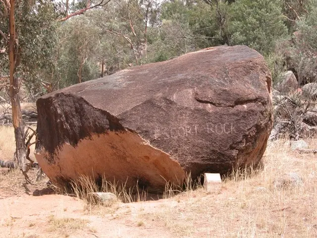
Escort Rock is an attraction about 5 km from Eugowra, New South Wales. Escort Rock is a heritage-listed geological formation at Escort Way, Eugowra, New South Wales, Australia. It is one of a group of historic sites labelled the Ben Hall Sites for their association with bushranger Ben Hall. Site of the Gold Escort Robbery. … Read more
Eugowra Historical Museum is a museum & gallery near Eugowra, New South Wales. Location data © OpenStreetMap contributors, available under the ODbL.
Murga Mountain is a mountain & peak about 13 km from Eugowra, New South Wales. Location data © OpenStreetMap contributors, available under the ODbL.
Mount Taylor is a mountain & peak about 8 km from Eugowra, New South Wales. Location data © OpenStreetMap contributors, available under the ODbL.
Bald Hill is a mountain & peak about 13 km from Eugowra, New South Wales. Location data © OpenStreetMap contributors, available under the ODbL.