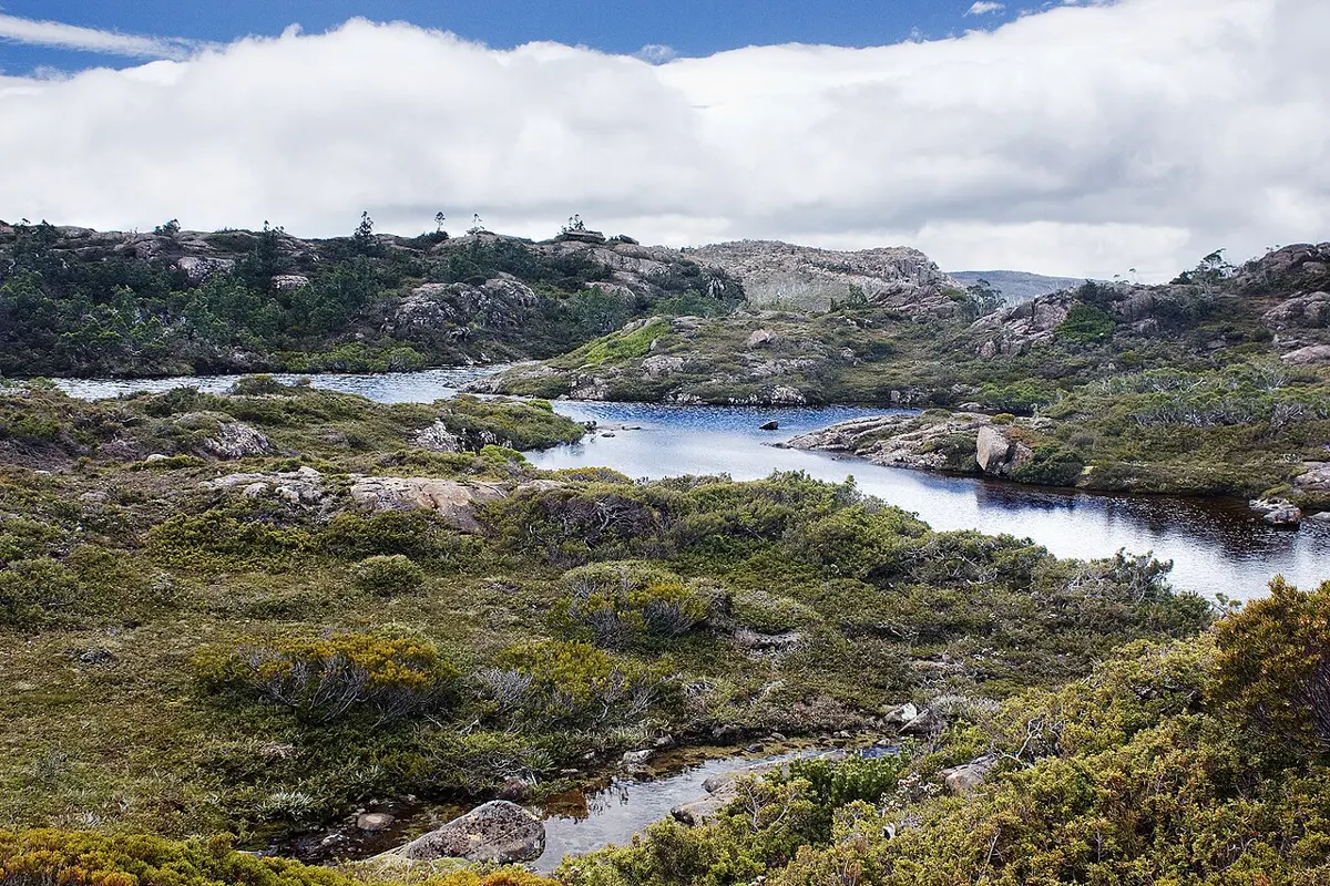
Mount Field National Park
Mount Field National Park is a national park about 10 km from Ellendale, Tasmania. It is managed by Tasmania Parks and Wildlife Service. Location data © OpenStreetMap contributors, available under the ODbL.
AustraliaWeb: Your Guide to Accessible & Family Travel in Australia
Mount Field National Park is a national park about 10 km from Ellendale, Tasmania. It is managed by Tasmania Parks and Wildlife Service. Location data © OpenStreetMap contributors, available under the ODbL.
Brownings Hill is a mountain & peak about 4 km from Ellendale, Tasmania. Location data © OpenStreetMap contributors, available under the ODbL.
Lookout to Mt Field East is a lookout about 3 km from Ellendale, Tasmania. Location data © OpenStreetMap contributors, available under the ODbL.
Mount Bethune is a mountain & peak about 4 km from Ellendale, Tasmania. It rises to about 508 m above sea level. Location data © OpenStreetMap contributors, available under the ODbL.
Davis Lookout is a mountain & peak about 8 km from Ellendale, Tasmania. It rises to about 1206 m above sea level. Location data © OpenStreetMap contributors, available under the ODbL.
Mount Crooke is a mountain & peak about 10 km from Ellendale, Tasmania. It rises to about 1197 m above sea level. Location data © OpenStreetMap contributors, available under the ODbL.
Mount Field East is a mountain & peak about 7 km from Ellendale, Tasmania. It rises to about 1274 m above sea level. Location data © OpenStreetMap contributors, available under the ODbL.
Dog Hill is a mountain & peak about 10 km from Ellendale, Tasmania. It rises to about 1100 m above sea level. Location data © OpenStreetMap contributors, available under the ODbL.
Brown Mountain is a mountain & peak about 7 km from Ellendale, Tasmania. It rises to about 974 m above sea level. Location data © OpenStreetMap contributors, available under the ODbL.