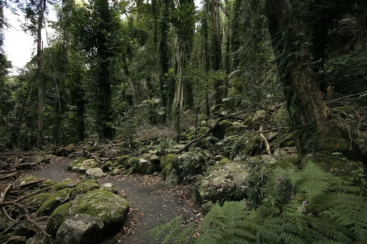
Coachwood Falls
Coachwood Falls is a waterfall about 9 km from Dorrigo, New South Wales. Location data © OpenStreetMap contributors, available under the ODbL.
AustraliaWeb: Your Guide to Accessible & Family Travel in Australia
Coachwood Falls is a waterfall about 9 km from Dorrigo, New South Wales. Location data © OpenStreetMap contributors, available under the ODbL.
Red Cedar Falls is a waterfall about 9 km from Dorrigo, New South Wales. Location data © OpenStreetMap contributors, available under the ODbL.
Junuy Juluum National Park is a national park about 6 km from Dorrigo, New South Wales. It is managed by NSW National Parks and Wildlife Service. Location data © OpenStreetMap contributors, available under the ODbL.
Bellinger River National Park is a national park about 8 km from Dorrigo, New South Wales. It is managed by NSW National Parks and Wildlife Service. Location data © OpenStreetMap contributors, available under the ODbL.
Dorrigo National Park is a national park about 11 km from Dorrigo, New South Wales. It is managed by NSW National Parks and Wildlife Service. Official website Location data © OpenStreetMap contributors, available under the ODbL.
Don Dorrigo & Guy Fawkes Historical Society Museum is a museum & gallery near Dorrigo, New South Wales. Location data © OpenStreetMap contributors, available under the ODbL.
Track End is a lookout about 13 km from Dorrigo, New South Wales. Location data © OpenStreetMap contributors, available under the ODbL.
Tree Fern Vale School Site – 1919-1935 Now Private is an attraction about 14 km from Dorrigo, New South Wales. It is managed by Lions Club Project. Location data © OpenStreetMap contributors, available under the ODbL.
Stream train lookout is a lookout near Dorrigo, New South Wales. Location data © OpenStreetMap contributors, available under the ODbL.
Cheep and Quack Hatchery is an attraction about 1 km from Dorrigo, New South Wales. Location data © OpenStreetMap contributors, available under the ODbL.