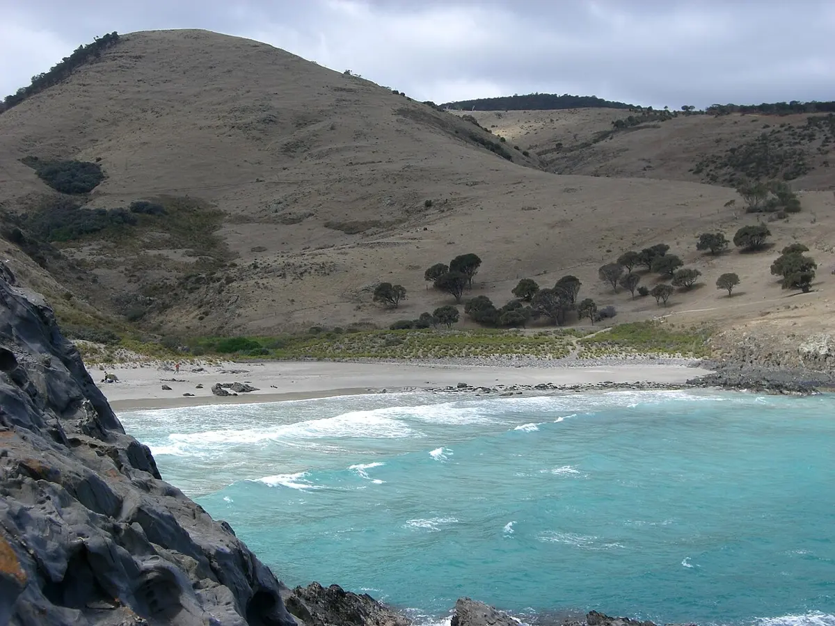
Photo: RetroBorg (talk) (Uploads), Public domain, via Wikimedia Commons

Deep Creek National Park

Deep Creek National Park is a national park about 11 km from Cape Jervis, South Australia. It is managed by South Australian Department for Environment and Water. Location data © OpenStreetMap contributors, available under the ODbL.

Talisker Conservation Park

Talisker Conservation Park is a nature reserve about 5 km from Cape Jervis, South Australia. Location data © OpenStreetMap contributors, available under the ODbL.

Morgan’s Beach

Morgan's Beach is a beach about 1 km from Cape Jervis, South Australia. Location data © OpenStreetMap contributors, available under the ODbL.

Blowhole Beach

Blowhole Beach is a beach about 7 km from Cape Jervis, South Australia. Location data © OpenStreetMap contributors, available under the ODbL.

Naiko Inlet

Naiko Inlet is a beach about 6 km from Cape Jervis, South Australia. Location data © OpenStreetMap contributors, available under the ODbL.

Goondooloo Ridge Lookout

Goondooloo Ridge Lookout is a lookout about 8 km from Cape Jervis, South Australia. Location data © OpenStreetMap contributors, available under the ODbL.

Aaron Creek Beach

Aaron Creek Beach is a lookout about 9 km from Cape Jervis, South Australia. Location data © OpenStreetMap contributors, available under the ODbL.

Cape Jervis bay

Cape Jervis bay is a lookout near Cape Jervis, South Australia. Location data © OpenStreetMap contributors, available under the ODbL.

Tent Hill

Tent Hill is a mountain & peak about 10 km from Cape Jervis, South Australia. It rises to about 245 m above sea level. Location data © OpenStreetMap contributors, available under the ODbL.

View

View is a lookout about 13 km from Cape Jervis, South Australia. Location data © OpenStreetMap contributors, available under the ODbL.