Barracks Falls
Barracks Falls is a waterfall about 15 km from Berrima, New South Wales. Location data © OpenStreetMap contributors, available under the ODbL.
AustraliaWeb: Your Guide to Accessible & Family Travel in Australia
Barracks Falls is a waterfall about 15 km from Berrima, New South Wales. Location data © OpenStreetMap contributors, available under the ODbL.
Guula Ngurra National Park is a national park about 20 km from Berrima, New South Wales. It is managed by NSW Department of Planning and Environment. Location data © OpenStreetMap contributors, available under the ODbL.
Bangadilly National Park is a national park about 14 km from Berrima, New South Wales. It is managed by NSW National Parks and Wildlife Service. Location data © OpenStreetMap contributors, available under the ODbL.
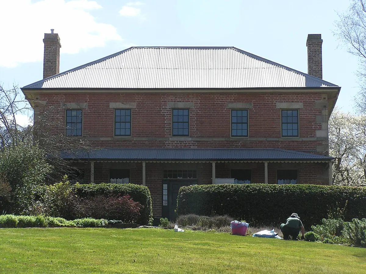
Harper's Mansion is a museum & gallery near Berrima, New South Wales. It is listed as a heritage site. Location data © OpenStreetMap contributors, available under the ODbL.
Berrima District Historical & Family History Society Museum is a museum & gallery near Berrima, New South Wales. Listed opening hours: We-Su 10:00-16:00. Official website Location data © OpenStreetMap contributors, available under the ODbL.
Mount Penang Lookout is a lookout about 17 km from Berrima, New South Wales. Location data © OpenStreetMap contributors, available under the ODbL.
Crocodile Beach is a beach about 23 km from Berrima, New South Wales. Location data © OpenStreetMap contributors, available under the ODbL.
Platypus Beach is a beach about 24 km from Berrima, New South Wales. Location data © OpenStreetMap contributors, available under the ODbL.
Wollondilly Lookout is a lookout about 21 km from Berrima, New South Wales. Location data © OpenStreetMap contributors, available under the ODbL.
Lambies Well is a lookout near Berrima, New South Wales. Location data © OpenStreetMap contributors, available under the ODbL.