Mount Toolebewong State Forest

Mount Toolebewong State Forest is a nature reserve about 2 km from Badger Creek, Victoria. It is managed by Department of Energy, Environment and Climate Action. Location data © OpenStreetMap contributors, available under the ODbL.
Lyre Bird enclosure

Lyre Bird enclosure is a zoo & wildlife about 2 km from Badger Creek, Victoria. Location data © OpenStreetMap contributors, available under the ODbL.

Photo: John Vandenberg, CC0, via Wikimedia Commons

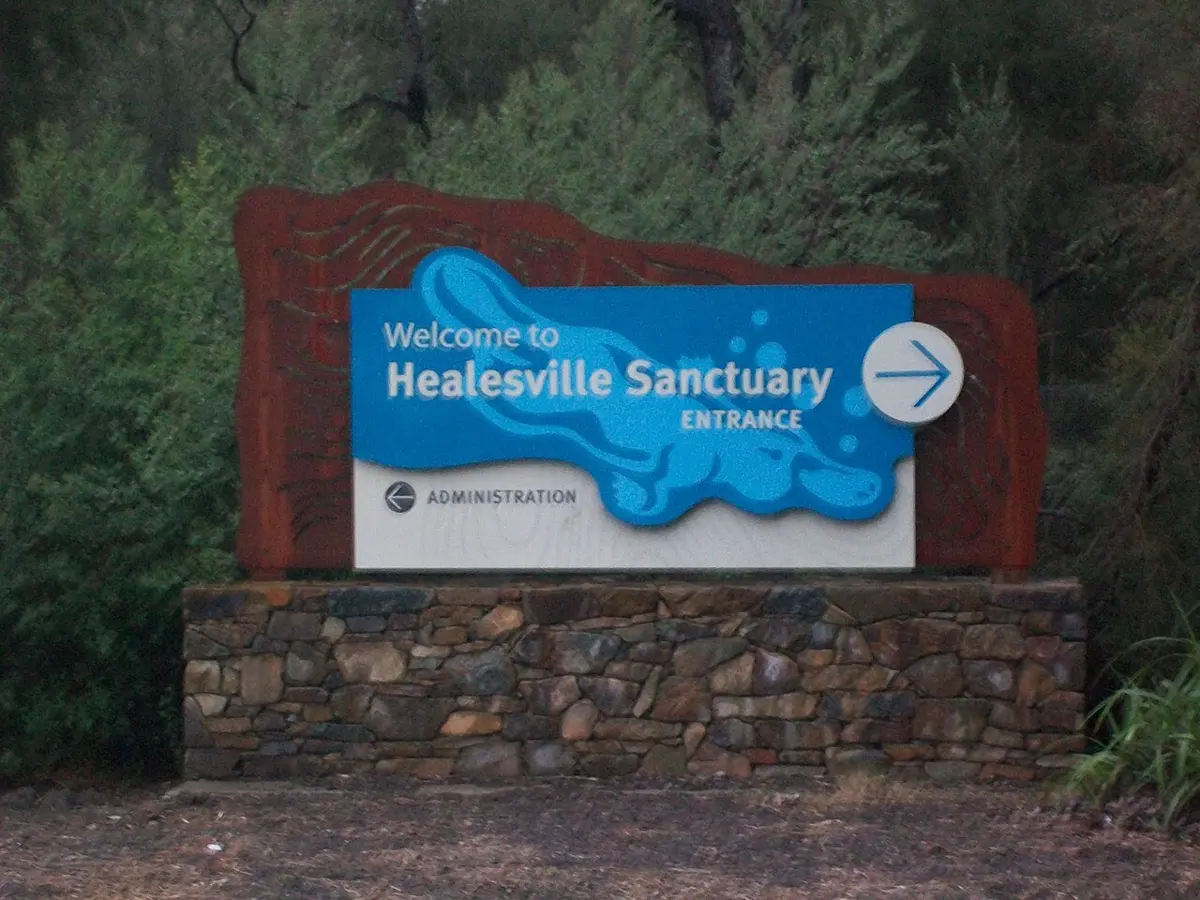
Healesville Sanctuary

Healesville Sanctuary is a zoo & wildlife about 2 km from Badger Creek, Victoria. A bushland haven for Australian wildlife. Listed opening hours: 09:00-17:00. An entry fee applies. It is managed by Zoos Victoria. Official website Location data © OpenStreetMap contributors, available under the ODbL.

Dingo2

Dingo2 is a lookout about 2 km from Badger Creek, Victoria. Location data © OpenStreetMap contributors, available under the ODbL.

Wombat

Wombat is a lookout about 2 km from Badger Creek, Victoria. Location data © OpenStreetMap contributors, available under the ODbL.

Dingo1

Dingo1 is a lookout about 2 km from Badger Creek, Victoria. Location data © OpenStreetMap contributors, available under the ODbL.

Lyre Bird

Lyre Bird is a lookout about 2 km from Badger Creek, Victoria. Location data © OpenStreetMap contributors, available under the ODbL.

Tasmanian Devil

Tasmanian Devil is a lookout about 2 km from Badger Creek, Victoria. Location data © OpenStreetMap contributors, available under the ODbL.

Koala

Koala is a lookout about 2 km from Badger Creek, Victoria. Location data © OpenStreetMap contributors, available under the ODbL.

Kangaroo

Kangaroo is a lookout about 2 km from Badger Creek, Victoria. Location data © OpenStreetMap contributors, available under the ODbL.