Eubenangee Swamp National Park

Eubenangee Swamp National Park is a national park about 9 km from Babinda, Queensland. It is managed by Queensland Department of Environment and Science. Location data © OpenStreetMap contributors, available under the ODbL.
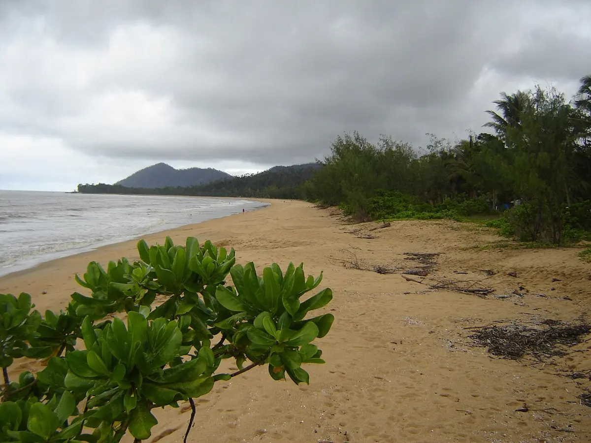
Wooroonooran National Park

Wooroonooran National Park is a national park about 18 km from Babinda, Queensland. It is managed by Queensland Department of Environment and Science. Location data © OpenStreetMap contributors, available under the ODbL.

Coronation Lookout

Coronation Lookout is a lookout about 13 km from Babinda, Queensland. Location data © OpenStreetMap contributors, available under the ODbL.

Boulder Lookout

Boulder Lookout is a lookout about 13 km from Babinda, Queensland. Location data © OpenStreetMap contributors, available under the ODbL.

Broken Nose

Broken Nose is a lookout about 14 km from Babinda, Queensland. Location data © OpenStreetMap contributors, available under the ODbL.

Mount Bartle Frere (South Peak)

Mount Bartle Frere (South Peak) is a mountain & peak about 13 km from Babinda, Queensland. Queensland's highest mountain. It rises to about 1622 m above sea level. Location data © OpenStreetMap contributors, available under the ODbL.

Boulders Gorge Lookout

Boulders Gorge Lookout is a lookout about 5 km from Babinda, Queensland. Location data © OpenStreetMap contributors, available under the ODbL.

Boulders Lookout

Boulders Lookout is a lookout about 6 km from Babinda, Queensland. Location data © OpenStreetMap contributors, available under the ODbL.

Devil’s Pool Lookout

Devil's Pool Lookout is a lookout about 6 km from Babinda, Queensland. Location data © OpenStreetMap contributors, available under the ODbL.