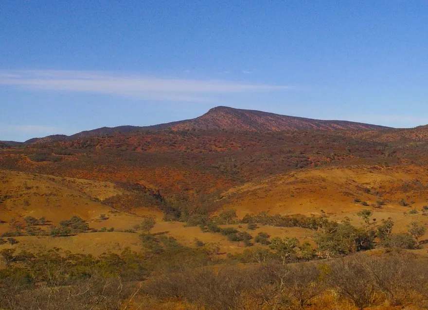
Vulkathunha-Gammon Ranges National Park
Vulkathunha-Gammon Ranges National Park is a national park about 15 km from Arkaroola Village, South Australia. Location data © OpenStreetMap contributors, available under the ODbL.
AustraliaWeb: Your Guide to Accessible & Family Travel in Australia
Vulkathunha-Gammon Ranges National Park is a national park about 15 km from Arkaroola Village, South Australia. Location data © OpenStreetMap contributors, available under the ODbL.
Arkaroola Station is a lookout about 4 km from Arkaroola Village, South Australia. Location data © OpenStreetMap contributors, available under the ODbL.
Mt Gee is a lookout about 9 km from Arkaroola Village, South Australia. Location data © OpenStreetMap contributors, available under the ODbL.
Radium Ridge is a lookout about 10 km from Arkaroola Village, South Australia. Location data © OpenStreetMap contributors, available under the ODbL.
Mt Painter is a lookout about 9 km from Arkaroola Village, South Australia. Location data © OpenStreetMap contributors, available under the ODbL.
Yudnamutana Hill is a lookout about 14 km from Arkaroola Village, South Australia. Location data © OpenStreetMap contributors, available under the ODbL.
Mt Ward is a lookout about 12 km from Arkaroola Village, South Australia. Location data © OpenStreetMap contributors, available under the ODbL.
Split Rock is a lookout about 12 km from Arkaroola Village, South Australia. Location data © OpenStreetMap contributors, available under the ODbL.
The Armchair is a lookout about 11 km from Arkaroola Village, South Australia. Location data © OpenStreetMap contributors, available under the ODbL.
Jasper Twins is a lookout about 5 km from Arkaroola Village, South Australia. Location data © OpenStreetMap contributors, available under the ODbL.