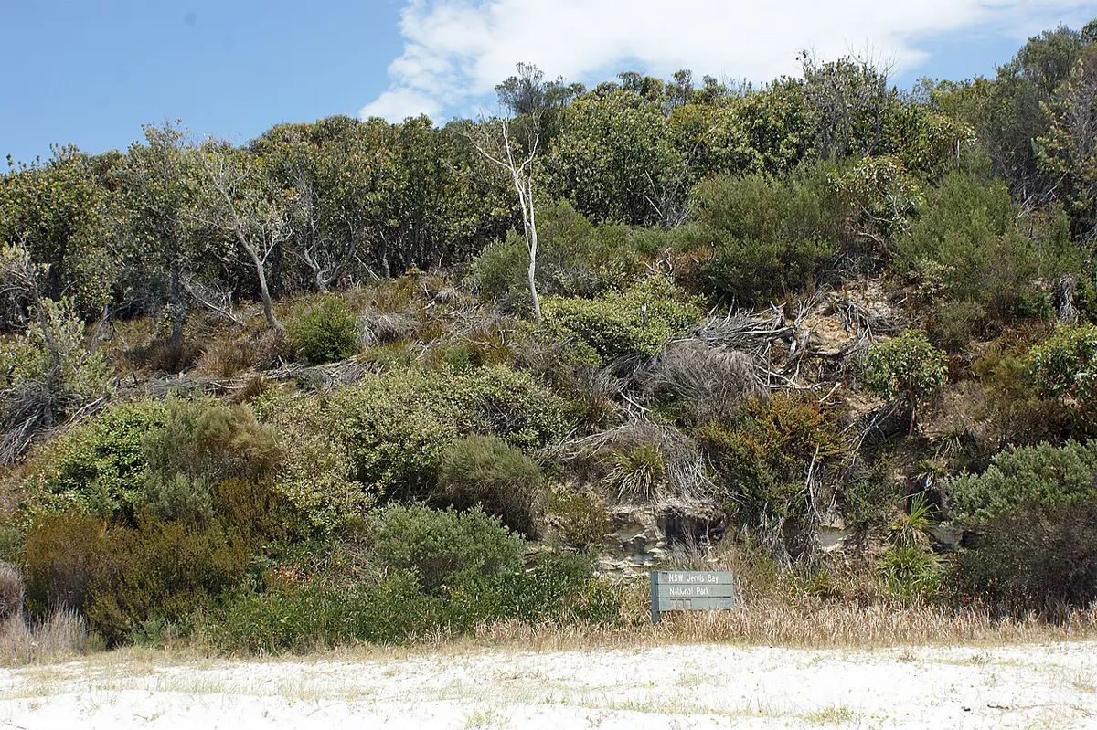
Jervis Bay National Park is a national park about 4 km from Callala Bay, New South Wales. It is managed by NSW National Parks and Wildlife Service.
Location data © OpenStreetMap contributors, available under the ODbL.
Nearby places
- Shark Net BeachBeach · 3.6 km away
- Huskisson BeachBeach · 3.6 km away
- Central Wandandian Public School 1911Museum & gallery · 4 km away
- Laddie Timberys Aboriginal Arts and CraftsMuseum & gallery · 4 km away
- Second classroom St George's Basin Public School 1959Museum & gallery · 4.1 km away
- Maritime MuseumMuseum & gallery · 4.1 km away
← Explore all places on the map · List your business free

About Jervis Bay National Park
Jervis Bay National Park, formerly known as Jervis Bay National Park (NSW), consists of several protected areas on the western and northern foreshores of Jervis Bay, on the south coast of New South Wales. The park is close to the town of Huskisson and includes Hyams Beach, renowned for its white sand, whale watching and fishing opportunities.
Read more on Wikipedia · From Wikipedia, CC BY-SA 4.0
Good to know
- Weather today: loading… (Open-Meteo, CC BY 4.0)
- Elevation:
- Nearest town: Callala Bay
- 🚻 Need a toilet? Aussie Loo
Places to stay nearby
- Myola Tourist Park Caravan & holiday park · NSW · 3.5 km View on AusStay
- White Sands Tourist Park Caravan & holiday park · NSW · 3.6 km View on AusStay
- Huskisson Beach Motel Motel · NSW · 3.8 km View on AusStay
Stays from AusStay; basic details from OpenStreetMap contributors (ODbL).
Print flyer A printable flyer with QR code, to share offline