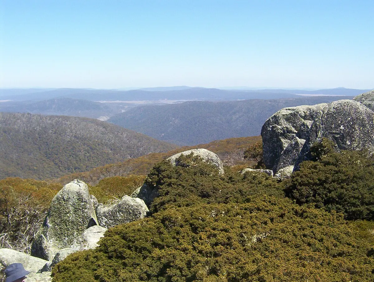
Namadgi National Park is a national park about 25 km from Tuggeranong, the Australian Capital Territory. It is managed by ACT Environment, Planning and Sustainable Development Directorate.
Location data © OpenStreetMap contributors, available under the ODbL.
About: Namadgi National Park covers almost half of the ACT and includes natural environments, remote wilderness and cultural heritage sites.
Email: namadginationalpark@act.gov.au
Source: the business's own website — parks.act.gov.au. Details may change; please check before visiting.
Nearby places
- Honeysuckle Creek Former Space Tracking StationAttraction · 4.3 km away
- Orroral Valley LookoutLookout · 7.6 km away
- Square RockLookout · 8.5 km away
- Coronet PeakMountain & peak · 9.3 km away
- Corin Forest Mountain ResortAttraction · 9.7 km away
- Mount NamadgiMountain & peak · 11.3 km away
← Explore all places on the map · List your business free

About Namadgi National Park
Namadgi National Park is a protected area in the southwest of the Australian Capital Territory (ACT), bordering Kosciuszko National Park in New South Wales. It lies approximately 40 kilometres (25 mi) southwest of Canberra, and occupies approximately 46 percent of the ACT's land area.
Read more on Wikipedia · From Wikipedia, CC BY-SA 4.0
Good to know
- Weather today: loading… (Open-Meteo, CC BY 4.0)
- Elevation:
- Nearest town: Tuggeranong
- 🚻 Need a toilet? Aussie Loo
Places to stay nearby
- Honyong Cabin Hostel · NSW · 17.2 km View on AusStay
- Green Cabin Hostel · NSW · 17.2 km View on AusStay
- Alpha Hotel Hotel · NSW · 23.4 km View on AusStay
Stays from AusStay; basic details from OpenStreetMap contributors (ODbL).
Print flyer A printable flyer with QR code, to share offline