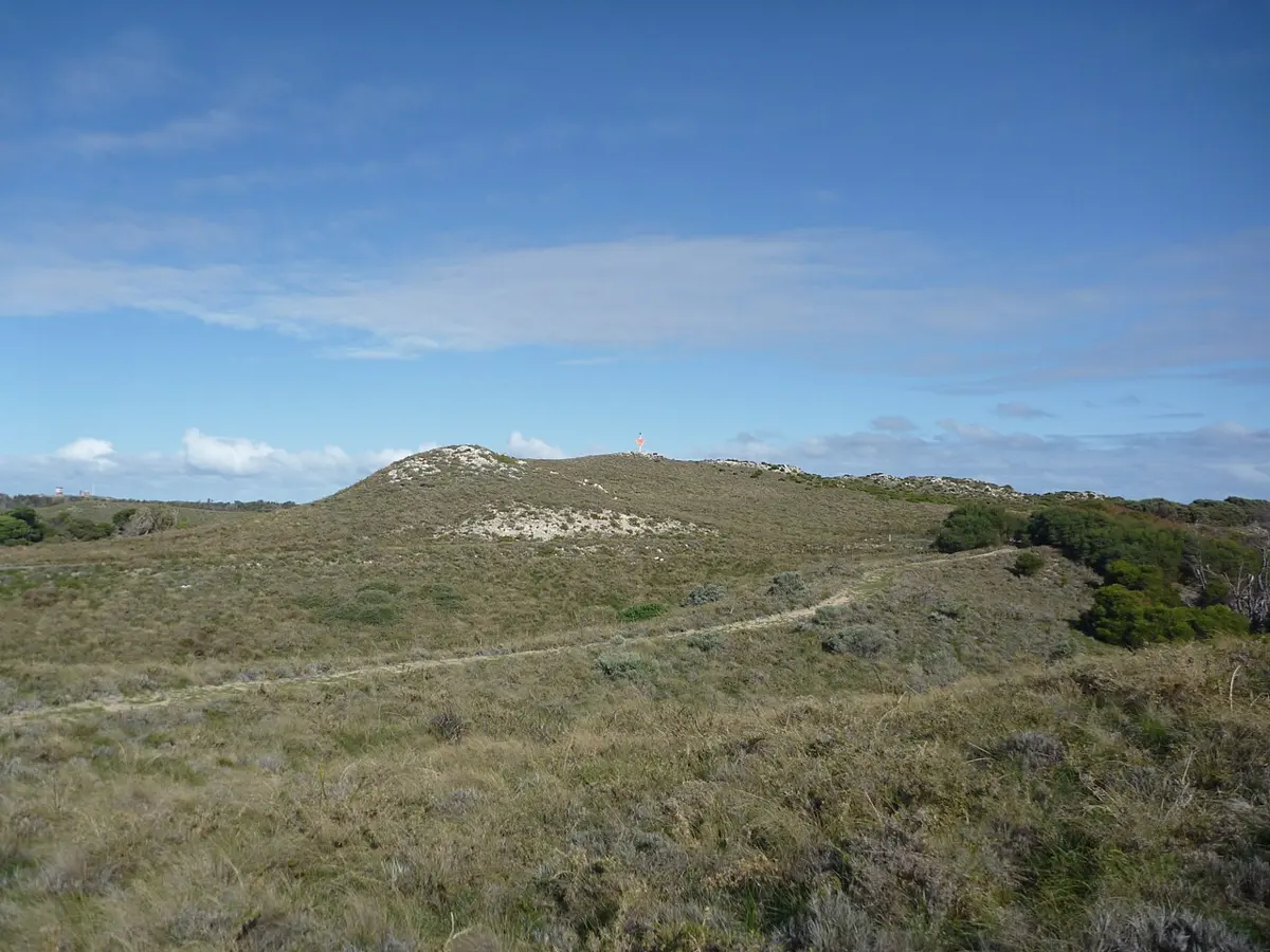
Wadjemup Hill Under 500 m
Wadjemup Hill is a mountain & peak near Rottnest Island, Western Australia. It rises to about 45 m above sea level. Location data © OpenStreetMap contributors, available under the ODbL.
AustraliaWeb: Your Guide to Accessible & Family Travel in Australia
Wadjemup Hill is a mountain & peak near Rottnest Island, Western Australia. It rises to about 45 m above sea level. Location data © OpenStreetMap contributors, available under the ODbL.
H2 Spur Line is an attraction near Rottnest Island, Western Australia. It is managed by Rottnest Railway. Official website Location data © OpenStreetMap contributors, available under the ODbL.
Bare Hill is a mountain & peak about 2 km from Rottnest Island, Western Australia. It rises to about 41 m above sea level. Location data © OpenStreetMap contributors, available under the ODbL.
Fairbridge Bluff is a beach near Rottnest Island, Western Australia. Location data © OpenStreetMap contributors, available under the ODbL.
Armstrong Hill is a mountain & peak about 2 km from Rottnest Island, Western Australia. It rises to about 32 m above sea level. Location data © OpenStreetMap contributors, available under the ODbL.
Catherine Beach is a beach about 2 km from Rottnest Island, Western Australia. Location data © OpenStreetMap contributors, available under the ODbL.
City of York Bay is a beach about 2 km from Rottnest Island, Western Australia. Location data © OpenStreetMap contributors, available under the ODbL.
Forbes Hill is a mountain & peak about 1 km from Rottnest Island, Western Australia. Location data © OpenStreetMap contributors, available under the ODbL.
Ricey Beach is a beach about 2 km from Rottnest Island, Western Australia. Location data © OpenStreetMap contributors, available under the ODbL.
North Point West is a beach about 2 km from Rottnest Island, Western Australia. Location data © OpenStreetMap contributors, available under the ODbL.