Tasmania
Tasmania
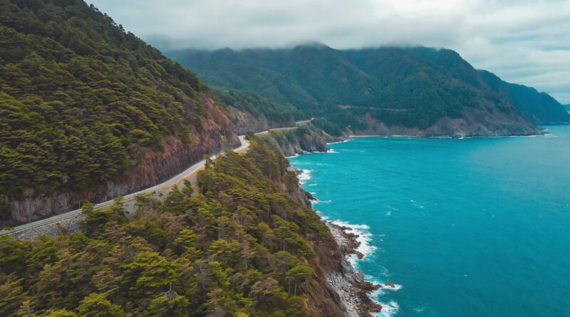
Compact, scenic, and packed with national parks — Tasmania is made for road trips. From Hobart and the Huon to Freycinet’s beaches and Cradle Mountain’s alpine trails, use this hub to find regions, routes, and nearby facilities.
Locations hub ·
Locations A–Z ·
TAS trip ideas ·
Routes A–Z ·
TAS facilities
Cities & regions
- Hobart — Salamanca, waterfront, kunanyi/Mt Wellington
- Launceston — Cataract Gorge, city parks
- Freycinet Peninsula — Coles Bay, Wineglass Bay
- Cradle Mountain — alpine boardwalks, Dove Lake
- Bay of Fires — orange lichen boulders, white‑sand beaches
- Port Arthur & Tasman Peninsula — history, sea cliffs
- Bruny Island — neck lookout, sheltered bays
- Huon Valley & Far South — forests, caves, coastline
See all TAS city & region hubs
Popular places
- Wineglass Bay — iconic beach and lookouts
- Port Arthur Historic Site — accessible paths and facilities
- Montezuma Falls — rainforest walk and long bridge
- Ronny Creek (Cradle) — boardwalks and wildlife
- Bicheno — blowhole, foreshore amenities
Road trips
- Tasmanian East Coast — Hobart/Orford to Bay of Fires
- West Coast Explorer — Strahan, Queenstown, wilderness
- Midlands Highway — Hobart ↔ Launceston heritage towns
- Heritage/Highlands loops — lakes and high country
Plan your stops
- Near Me when you reach a town
- Accessible Toilets and Changing Places
- Parents’ rooms & baby change in malls and visitor centres
- Public showers on popular foreshores and some parks
- 24/7 & after‑hours options for late drives
Beaches & parks
- National Parks hub — park passes, alerts, access notes
- Freycinet National Park — lookouts and beach access
- Cradle Mountain–Lake St Clair — shuttle, boardwalks, facilities
- Maria Island — wildlife, historic sites, limited services
Accessibility
- Use the app filters for Accessible Toilets and Adult Change
- Prefer boardwalk trails and sealed paths at major sites (Cradle, Port Arthur, Freycinet visitor areas)
- Weather shifts quickly — plan shorter segments and sheltered stops
Best time to go
- East Coast: Oct–Apr for beach weather; shoulder seasons for fewer crowds
- Highlands/Cradle: Nov–Mar for milder temps; winter brings snow and closures
- South/West: Year‑round; prepare for rain and cooler winds
Safety & driving
- Narrow, winding roads — plan rest breaks every 2 hours
- Watch wildlife at dusk/dawn; slow down in forested areas
- Carry layers and check park/road alerts before you go
FAQs
Where can I find public showers on the East Coast?
Foreshore precincts in towns like Bicheno, St Helens and Swansea often have amenities blocks. See Public Showers.
Do TAS national parks have accessible amenities?
Major visitor nodes typically have accessible toilets and boardwalks. Start via the National Parks hub and check each park’s access notes.
How long is a classic East Coast road trip?
Allow 3–6 days Hobart ↔ Bay of Fires with hops via Orford, Triabunna, Swansea, Bicheno, and St Helens. Use the AussieLoo app to save likely stops.