South Australia
South Australia
From Adelaide’s coastline and wine regions to the rugged Flinders Ranges and the long Eyre Peninsula, SA mixes easy coastal hops with classic outback drives. Use this hub to find city hubs, popular places, routes, and nearby facilities.
Locations hub ·
Locations A–Z ·
SA trip ideas ·
Routes A–Z ·
SA facilities
Cities & regions
- Adelaide — beaches, park lands, museums
- Fleurieu Peninsula — Victor Harbor, Port Willunga, Encounter Bay
- Barossa Valley — cellar doors, heritage towns
- Clare Valley — Riesling Trail, rolling countryside
- Kangaroo Island — beaches, wildlife, Flinders Chase NP
- Eyre Peninsula — coastal drives, seafood towns
- Yorke Peninsula — family beaches, Innes NP
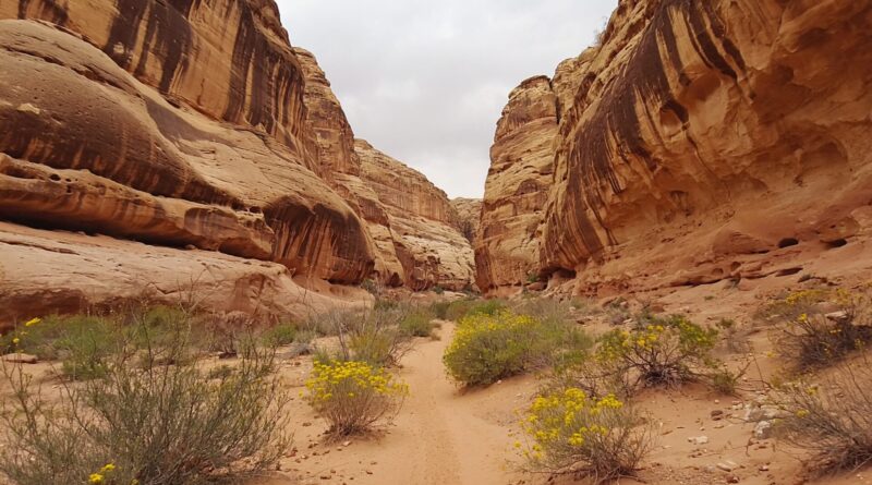
- Flinders Ranges — Wilpena Pound, outback gorges
Popular places
- Glenelg — tram to the beach, foreshore facilities
- Henley Beach — jetty, dining, family‑friendly foreshore
- Maslin Beach & Mid‑Coast — cliffs and coves
- Innes National Park — surf beaches, coastal walks
- Wilpena Pound — trailheads and lookouts
Road trips
- Eyre Highway — SA–WA Nullarbor crossing
- Stuart Highway — SA to NT via the outback
- Coastal drives — Yorke & Eyre highlights
- Outback SA — Flinders Ranges & beyond
Plan your stops
- Near Me when you arrive in town
- Accessible Toilets and Changing Places
- Parents’ rooms & baby change around malls and visitor centres
- Public showers on popular foreshores
- 24/7 & after‑hours options for late drives
Beaches & parks
- National Parks hub — park alerts, access notes, campgrounds
- Innes National Park — Yorke Peninsula highlights
- Flinders Ranges NP region — accessible lookouts and facilities
- Morialta — Adelaide hills gorges and lookouts
Accessibility
- Use app filters for Accessible Toilets and Adult Change facilities
- Foreshore precincts around Adelaide Metro and main regional towns usually have sealed paths and accessible amenities
- Check gradients and surface type at lookouts and boardwalks; plan shorter segments in hilly or unsealed areas
Best time to go
- Adelaide & peninsulas: Oct–Apr for beach weather; spring/autumn for mild walking conditions
- Flinders Ranges & outback: Apr–Oct (avoid peak summer heat)
- Kangaroo Island: Year‑round; check ferry and seasonal services
Safety & driving
- Plan rest breaks every 2 hours, especially on Eyre/Stuart highways
- Carry water and fuel between remote towns; avoid dusk–dawn driving due to wildlife
- Check park alerts, fire bans, and outback road conditions before you go
FAQs
Where can I find public showers near Adelaide?
Popular metro foreshores (Glenelg, Henley) and some coastal caravan parks/rec centres have showers. See Public Showers.
Do SA national parks have accessible amenities?
Many popular sites provide accessible toilets and boardwalks. Start via the National Parks hub and check each park’s access notes.
How do I plan stops on the Eyre Highway?
Use the Eyre Highway route page and save roadhouse towns as likely stops in the AussieLoo app.